Meet Our Speakers

LT GEN AKS CHANDELE, PVSM, AVSM (RETD)
President – Defence Internal Security & Public Safety
Geospatial Media & Communications
Laksamana Maritim Dato' Sri Hj Ahmad Puzi Bin Hj Ab Kahar
Director General
Malaysian Maritime Enforcement Agency

John Cartwright
Vice President, International Defense and Intelligence Programs
DigitalGlobe, USA
Mission Assurance in the WorldView Era
BRIG. GENERAL SR DR. MOHD. ZAMBRI BIN MOHAMAD RABAB
Divisional Director, Defence Geospatial Division, JUPEM, Malaysia
Development of Web GIS for MH17 Incident

JOHN TAYLOR
Senior Director - Reality Modelling (Asia Pacific)
Bentley Systems, Australia
Reality Modelling For Geoint Capability Improvement

SR DR AZHARI BIN MOHAMED
Director of Survey
Boundary
Affairs Division, Department of
Survey and Mapping Malaysia
Laying Malaysia's Territorial Claim in the South China Sea

Lee Kok Wai
Country Business Manager
Large Format Print, HP, Malaysia
HP Larger Format Innovation

Captain Martin A. Sebastian RMN (R)
Fellow and Centre Head of the Centre for Maritime Security and Diplomacy
Maritime Institute of Malaysia

Alfred Law
VP Asia Pacific
UrtheCast
Advanced ISR Capabilities Powered by UrtheCast's Satellite Constellations
Alex Tan
Regional Sales Manager S.E.A.
DigitalGlobe, Singapore
Intelligence, Surveillance, Reconnaissance (ISR) – Case Studies on Situational Awareness

Dato' Prof. Dr. Shattri Mansor
Director
Geospatial Information Science Research Centre, Universiti Putra Malaysia
Lt. Kol. (PA) Noor Azam Bin Johari
Assistant Director
Disaster Management and Operation Division, Malaysia Civil Defence Forces (MCDF), Malaysia

DR DINESH SATYAMOORTHY
Senior Research Officer
Science & Technology Research
Institute for Defence,
Malaysia
Venue information
14th Floor (Entry from West Wing of Berjaya Times Square)
Jalan Imbi
Kuala Lumpur
Registration timing
Exhibition timing
About Conference
Asia Pacific accounts for 30 percent of the earth's landmass and is home to nearly 60 percent of the world's population. The continent is the fastest growing economic region globally and the largest continental economy by GDP PPP. A prerequisite for economic sustainability is comprehensive security, to include food, water, energy and the ability to defend its sea, air and land assets. In today's digital world, lack of correct information at the right time can no longer be an excuse for taking a wrong decision. In such a scenario, geospatial information emerges as an extremely potent tool for defence and internal security. GeoIntelligence Asia Pacific, launched in 2015 to a hugely successful response, showcases the power of geospatial intelligence in safeguarding the territories and people for nations in Asia Pacific.
Theme
Defence and homeland security are key for survival of a nation, more so for fast developing countries like those in Asia. The security threats facing nations however are getting increasingly complex in nature. In such a scenario, the knowledge of terrain forms the essence of military operations. Geospatial tools for navigation, situational awareness, command and control, operations, training and maintenance, forms the core of any military's functioning at all levels. Militaries across the globe are realising that it is not the number of forces that ensures victory, but the side which harnesses technology as an enabler. With the theme "Geospatial – Force Multiplier for Modern Warfare", the conference will showcase how the use of geospatial technologies enhances manifold the defence and internal security capability of a nation, significantly increasing the combat potential of forces and enhancing the probability of successful mission accomplishment.
Why Attend: Learn About the Geospatial Advantage
Target audience
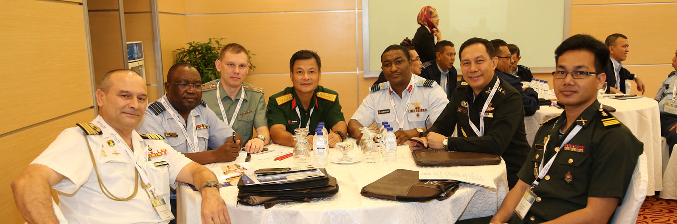
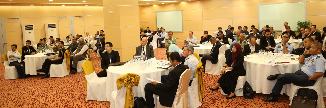
PAST PARTICIPANTS
And many more...
GeoIntelligence Asia Pacific 2015 and GeoSmart Asia 2015
at a glance
REGISTRATION FEES
To Register click here or write to registration@geosmartasia.org.
Exhibition
GeoSmart Asia exhibition is an excellent and highly cost effective platform for government organisations to showcase their initiatives and solution providers to showcase their geospatial offerings. Await this exciting opportunity to gain wider recognition and expand your market
EXHIBITION RATE
USD 500 per sq mtr* * Taxes as applicableTo exhibit click here or write to exhibition@geosmartasia.org for exhibition proposal and the latest floor plan.
presented by

CONTACT
Kamal Aznam, Business Development Manager
kamalaznam@geospatialmedia.net
60-122386377
107.17.02, Bistari Condominium
Jalan 1/64D, Off Jalan Putra
50350, Kuala Lumpur, Malaysia
www.geosmartasia.org