GeoLand
Strategic Partner |
 |
About GeoLand Asia
In view of the critical role that land, as a resource plays in sustainable development of economies, the countries in the Asia and Pacific region have long been making serious efforts to improve their land governance and administrative practices by undertaking a variety of changes to legal, institutional, social and technological set up. Steps have been specifically taken for:
- Increasing registration of property rights
- Use of new information and communications technologies
- Streamlining of laws and regulations
- Institutional reforms
- Boosting capacity building efforts
- Ensuring anti-corruption plans, good governance monitors and internal audit functions
Over the years, the role and use of geospatial and other Information and Communication Technologies (ICTs) have greatly helped to make most of these processes faster, secure, scalable and sustainable. Countries like Malaysia, Thailand, Indonesia, Philippines, China, Cambodia, Laos, Vietnam and Brunei have all achieved reasonable progress in streamlining their land administrative practices and in turn, the land agencies have been contributing directly or indirectly to economic and social development. However, use of technology is also wrought with many issues. Application of technology does not always yield expected results, might not be scalable or sustainable or may need frequent updations, training of human resource or may be just too expensive to maintain or start with etc.
The one-day programme on GeoLand Asia to be held during GeoSmart Asia will focus on the innovations that geospatial technologies are making especially for smarter applications in land administration segment, which are economical, easy to apply, scalable and lend to improving work efficiencies. The programme will create an atmosphere for dialogue between land administration stakeholders in order to explore innovative use of technologies for cadastral mapping, connecting property rights information to digital maps and delivering smoother, better services for citizens using technology.
Programme Objectives:
- Assess the progress made by countries in the region with respect to achieving smart land administration
- Identify the supportive role that the geospatial industry can play in achieving better land administration
- Identify economical and innovative geospatial tools and techniques for land administration
- Discuss on the roadblocks and ways to overcome them with respect to industry’s role in achieving well functioning land administration
Target Audience:
- Cadastral mapping agencies
- Land and Property registration agencies
- Private industry serving land administration sector
- Funding and multilateral agencies working in land administration
- NGOs
- Researchers and academicians
Speakers

Chairperson
Datuk Dr. Abdul Kadir Taib
Ex-Director General JUPEM and CEO Platinum Survey Consultant
Malaysia

Sr Khuzaimah Abdullah
Director, National Property Information Centre
Malaysia


Emeritus Professor John Trinder
President, Surveying & Spatial Sciences Institute & Surveying & Geospatial Engineering, School of Civil & Environmental Engineering, The University of South Wales, Australia
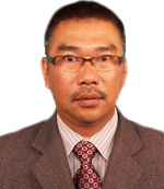
Sr Tuan Haji Safar Bin Untong
Director
Sabah Land & Surveys Department
Malaysia

Tsai Wen-Yu
Specialist
National Land Surveying and Mapping Center
Ministry of Interior
Taiwan (ROC)
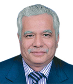
Dr Sr Ahamad Zakaria
Director Of Survey and Mapping
Department of Survey Selangor
Malaysia
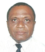
Samuela Naicegucegu
Director Land Use/Land Reform
Ministry of Lands and Mineral Resources
Fiji Islands
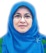
Sr Dr Hajah Norziha binti Md Zain
State Director of Valuation
Valuation & Property Services Department
Malaysia

Benoit Frédéricque
Senior Product Manager, Hydraulics and Hydrology
Bentley
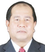
Dato’ Sr. Dr. Mohd Zaid Bin Abdullah
Principal/ Licensed Land Surveyor
Malaysia

Warltio G. Quirimit
Head - Geospatial Information Management Section
Land Administration and Management System
The Land Management Bureau
The Philippines
Programme Outline:
Each session will have 4 speakers deliberating on the session theme. Each speaker will get 20 minutes to present their work and also take up few questions from the audience.
|
0930 – 1100 hrs |
Session on Experience of Land Administrators |
|
1100 – 1330 hrs |
Networking Coffee Break, Visit to Exhibition and Lunch |
|
1330 – 1500 hrs |
Session on Role of Geospatial Technology in Land Administration |
|
1500 – 1600 hrs |
Networking Coffee Break and Visit to Exhibition |
|
1600 – 1730 hrs |
Session on Technology Innovations and their Successful Implementation |